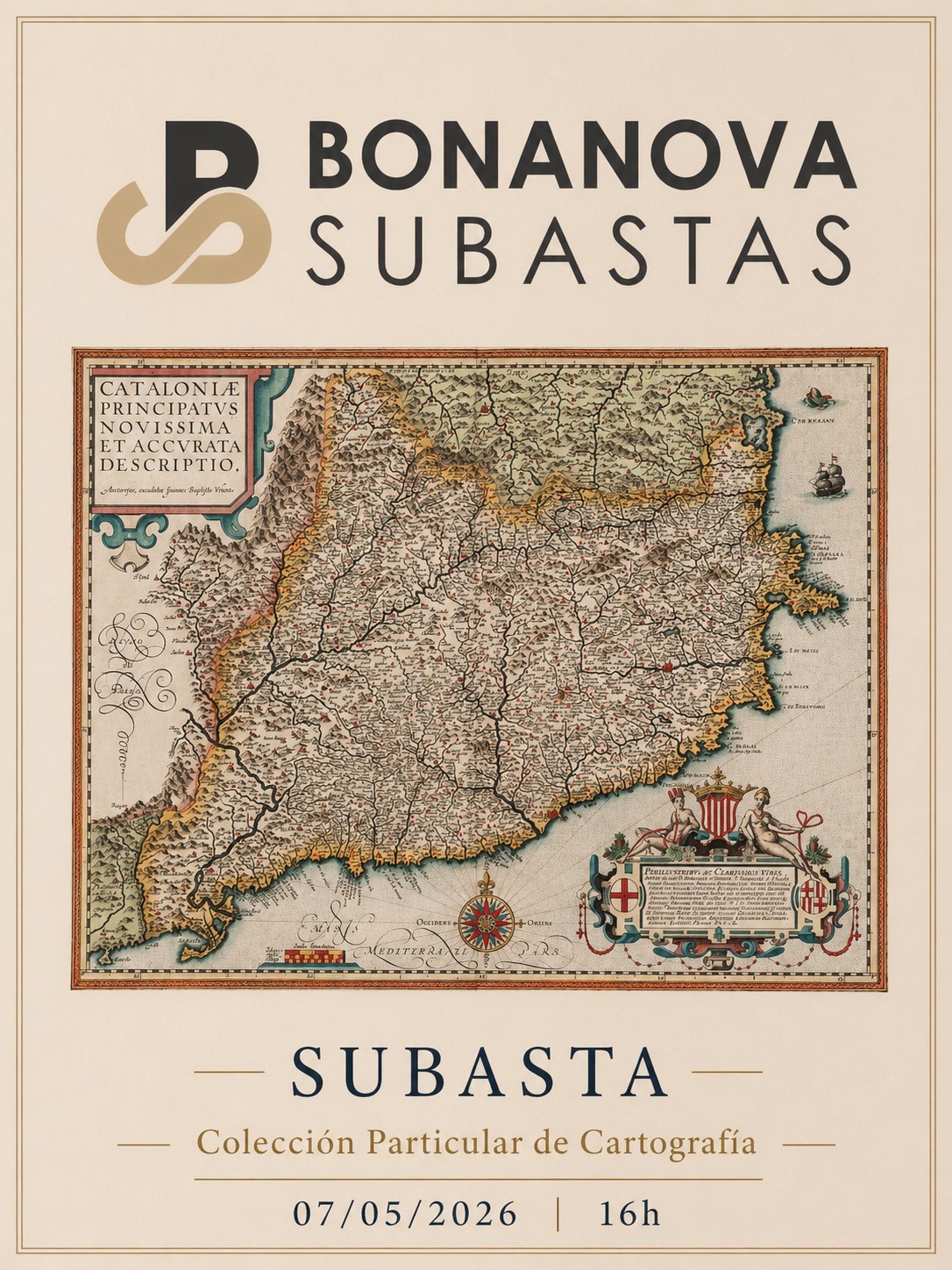
Bonanova Subastas

SUBASTA COLECCIÓN PARTICULAR DE CARTOGRAFÍA

SUBASTA COLECCIÓN PARTICULAR DE CARTOGRAFÍA

Exposición

Del lunes 27 de abril al miércoles 6 de mayo.

De lunes a viernes: de 10 a 14 y de 16 a 19h. Cerrado del viernes 1 al domingo 3 de mayo.

Muntaner 527. 08022 Barcelona

Subasta

Subasta Online Jueves 7 de mayo.

A partir de las 16h.

256 resultados

VENDIDO
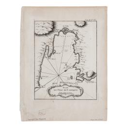
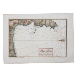
169 - PLAN DU PORT DE CADAQUIE
Por J. N. Bellini  (1703-1772) . Publicado en "Petit Atlas Maritime", París, 1761. Buril sobre papel verjurado. Medidas plancha: 24 x 18,5 cm. Medidas totales: 32 x 24 cm.

Precio salida 30 €

VENDIDO
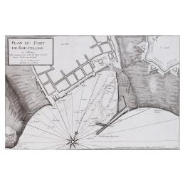
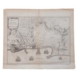
170 - PLAN DU PORT DU BARCELONE
 Cartógrafo: Jacques Ayrouard. Grabador: Louis Corne (1703-1761). Publicado en "Recueil plusieurs pplans des ports et rades et quelques cartes particuliers de mediterrane". Marseille 1732-46. Buril sobre papel verjurado con filigrana. Medidas plancha: 30 x 47 cm. Medidas totales: 33,5 x 50 cm.

Precio salida 50 €

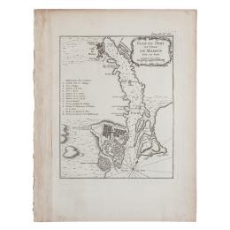
171 - PLAN DU PORT ET  VILLE DE MAHON
171 - PLAN DU PORT ET VILLE DE MAHON
Por J. N. Bellin  (1703-1772). Publicado en "Petit Atlas Maritime", Tomo IV, Paris. Buril sobre papel verjurado. Medidas plancha: 23 x 18,5 cm. Medidas totales: 32 x 24,5 cm.

Precio salida 120 €

NO VENDIDO

VENDIDO
172 - PLAN DU PORT ET RADE DE PALAMOS
Por J. Ayouard y Coufin . Publicado en "Record de plusieurs ports et rades de la mediterranee", Marsella, 1732-1746. Buril iluminado sobre papel verjurado . Medidas plancha: 31 x 45 cm. Medidas totales: 38 x 54 cm.

Precio salida 40 €

VENDIDO
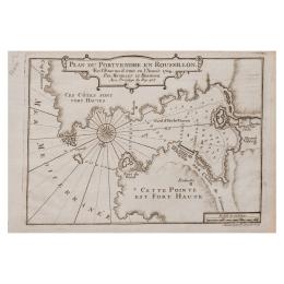
173 - PLAN DU PORTVENDRE
 Cartógrafo: Henri Michelot y Laurent Brémond. Grabador: Pieter Starck-man. Publicado en 1727. Buril sobre papel verjurado. Medidas plancha: 18,5 x 26 cm. Medidas totales: 19 x 29 cm.

Precio salida 60 €

VENDIDO
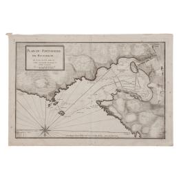
174 - PLAN DU PORTVENDRE EN ROUSSILLON
Por Jacques Ayrouard (1720-1750). Publicado en "Recueil de plusieurs plans des ports et rades et de quelques cartes particuliers de la mer Mediterranee, avec les figures des terres remarquables pour les reconnoissances des atterages". Buril sobre papel verjurado. Medidas plancha: 31 x 46,5 cm. Medidas totales: 34 x 49,5 cm.

Precio salida 40 €

VENDIDO
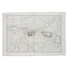
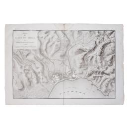
175 - PLAN DU SEIGE DE LÉRIDA
Por Ambroise Tardieu (1788-1841). Publicado en París, 1810. Buril sobre papel verjurado. Medidas plancha: 65 x 92 cm. Medidas totales: 71 x 102 cm.

Precio salida 120 €

176 - PLAN DU SEIGE DE ROSES 1808
Por Tardieu. Publicado en París, ca. 1810. Buril sobre papel verjurado. Corte en la mancha de humedad superior central. Medidas plancha: 67 x 96 cm. Medidas totales: 72 x 104 cm.

Precio salida 120 €

NO VENDIDO

VENDIDO
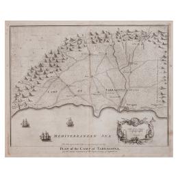
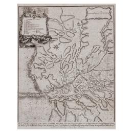
178 - PLAN OF THE CAMP OF TARRAGONA
Cartógrafo: Rapin Thoyras (1661-1725). Grabador: James Basire (1830-1702). Publicado en "History of Britan", Londres, 1750. Buril sobre papel verjurado. Medidas plancha: 39 x 48 cm. Medidas totales: 41 x 50 cm.  

Precio salida 120 €

VENDIDO
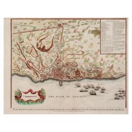
179 - PLAN OF THE CITY AND CASTLE OF ALICANT
Por Paul de Rapin-Thoyras (1661-1724). Grabador: Isaac Basire. Publicado en "Mr. Tindal’s Continuation of Mr. Rapin’s History of England",Londres, 1745. Medidas plancha: 39 x 48,5 cm. Medidas totales: 40 x 51,5 cm.

Precio salida 120 €

VENDIDO
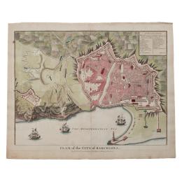
180 - PLAN OF THE CITY OF BARCELONA
Por Rapin-Thoyras (1661-1725). Publicado en "History of England", London, circa 1738. Buril iluminado sobre papel verjurado. Restauraciones. Medidas plancha: 38 x 49 cm. Medidas totales: 42,5 x 52 cm. Adjunta certificado.

Precio salida 120 €

VENDIDO
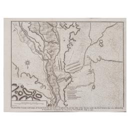
181 - PLAN OF THE COUNTRY AND CAMPS CHARLES III
Por Rapin de Thoyras (1661-1725). Publicado en "Tindal's History of England", Londres, ca. 1730-1751. Buril sobre papel verjurado. Medidas plancha: Medidas totales: 40 x 52 cm.

Precio salida 140 €

VENDIDO
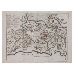
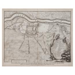
183 - PLAN OF THE TOWN AND CASTLE OF LERIDA
Por Rapin de Thoyras (1661-1725). Publicado en "Tindal's History of England", Londres, ca. 1730-1751. Buril iluminado sobre papel verjurado. Medidas plancha: 39 x 48 cm. Medidas totales: 41 x 50 cm.

Precio salida 140 €

VENDIDO
184 - PLAN OF THE TOWN OF BARCELONA
Por Claude du Bosc (1682-1745). Publicado en "The military history" London 1736. Buril sobre papel verjurado con filigrana. Pequeña rotura en el marco superior. Medidas plancha: 32 x 42 cm. Medidas totales: 39,5 x 46,5 cm.

Precio salida 200 €

VENDIDO
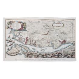
185 - PLAN TWON AND HARBOUR DE LA VILLE MAHON
Por Rapin Thoyras (1661-1725). Publicado en "History of England", Londres, 1744-1747.Buril iluminado sobre papel verjurado. Medidas plancha: 38 x 63 cm. Medidas totales: 39 x 64 cm.

Precio salida 225 €

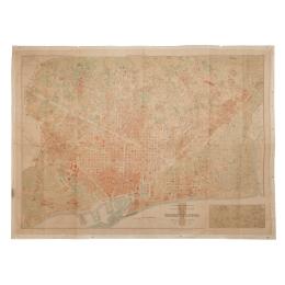
186 - PLANO DE BARCELONA
Publicado por Ayuntamiento de Barcelona, 1943. Impresión cartográfica sobre papel. Medidas totales: 88 x 119 cm.

Precio salida 60 €

NO VENDIDO

VENDIDO
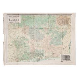
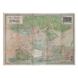
188 - PLANO DE BARCELONA E"EL SIGLO"
Publicado por Grandes almacenes "El Siglo", Conde Puerto y CiA. Barcelona circa, 1900-15. Offset cinco tintas. Restauraciones. Medidas totales: 64 x 88 cm.

Precio salida 30 €

VENDIDO
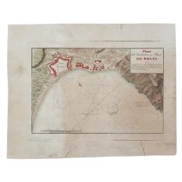
189 - PLANO DE FONDADERO Y PLAZA DE ROSAS
Por Dirección Hidrográfica. Publicado en Madrid, 1813. Bujril iluminado sobre papel verjurado. Restaurado. Medidas plancha: 21 x 29 cm. Medidas totales: 27 x 34 cm.

Precio salida 20 €

VENDIDO
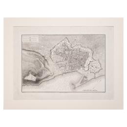
190 - PLANO DE LA CIUDAD DE BARCELONA
 Cartógrafo: Pierre Lartigue (1747-1827) y P. Lartigue. Grabador: Pierre Didot (1761-1853). Publicado en "Voyage pittoresque et historique de l'Espagne" de Alexandre de Laborde. París, 1806. Buril y aguafuerte sobre papel verjurado. Medidas plancha: 33 x 46 cm. Medidas totales: 38,5 x 51,5 cm.

Precio salida 160 €

VENDIDO
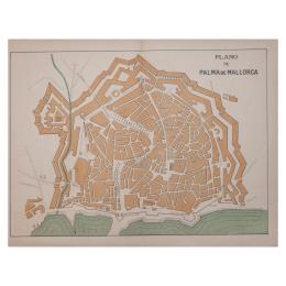
191 - PLANO DE PALMA DE MALLORCA
Por Julian Garcia y Garcia . Publicado en Barcelona : Tip. Lit. J. Casamajó, 1905. Litografia. Medidas totales: 34 x 43,5 cm.

Precio salida 20 €

VENDIDO
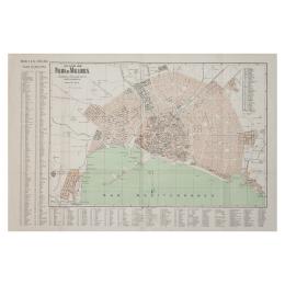
192 - PLANO DE PALMA DE MALLORCA
Cartógrafo: Juli Soler . Grabador: Benito Pons. Publicado en A. Martin, editor. 1940. Litografía. Medidas totales: 51,5 x 77 cm.

Precio salida 30 €

Política de Cookies

Utilizamos cookies propias y de terceros para analizar el uso del sitio web y mostrarte publicidad relacionada con tus preferencias sobre la base de un perfil elaborado a partir de tus hábitos de navegación (por ejemplo, páginas visitadas).

Tenga en cuenta que, si acepta las cookies de terceros, deberá eliminarlas desde las opciones del navegador o desde el sistema ofrecido por el propio tercero.